Vorarlberg
Federal State

 Geographical
-
Population
391.741
-
Area
2.601,12 km²
-
Population Density
150,60 people/km²
-
(Austria)
105,17 people/km²
-
Area proportion
3%
-
Pop. proportion
4%
-
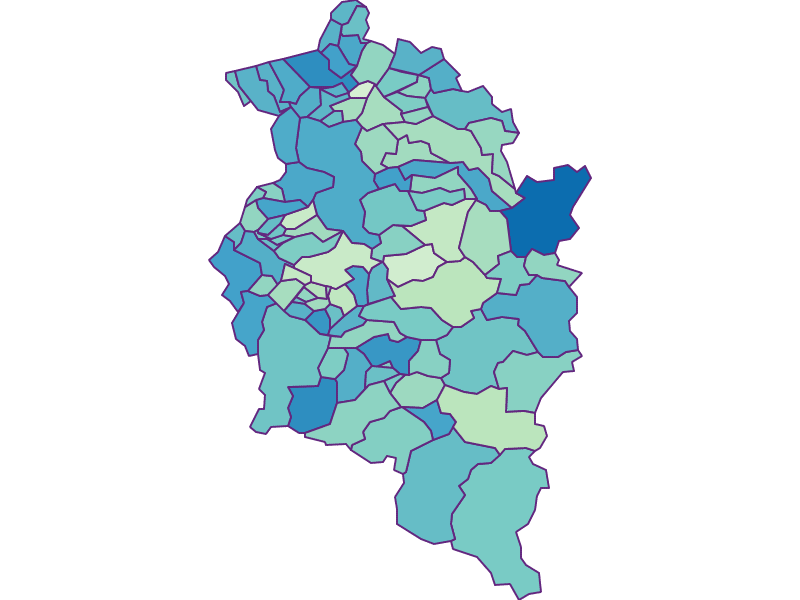
Regions
2
-
Districts
4
-
Municipalities
96
-
Wood
31.82%
-
Alps
23.37%
-
Rocks
13.59%
-
Fields, pastures
15.67%
-
Permanent crops
0.03%
-
Viniculture
0.01
-
Operational areas
0.63%
-
Leisure areas
0.29%
-
Gardens
2.43%
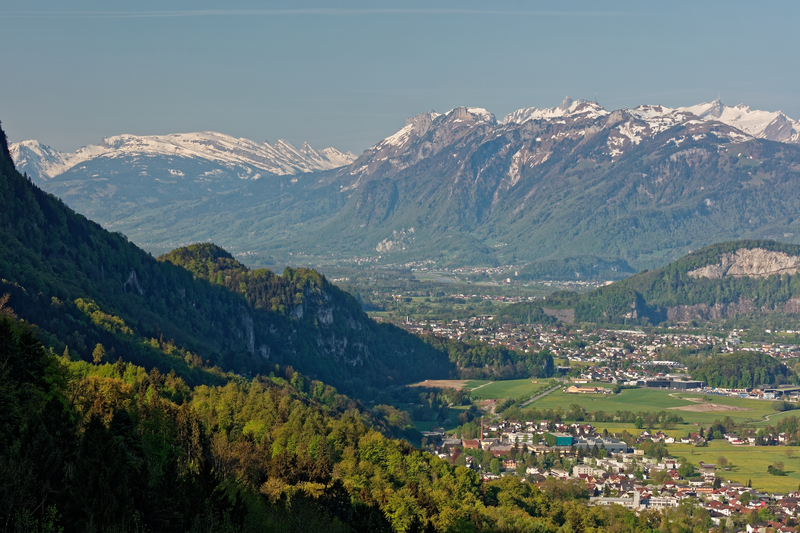
Vorarlberg is the westernmost province of the Republic of Austria and borders in the east on the province of Tyrol. The neighbouring countries also include the German Free State of Bavaria in the north, the Swiss canton of St. Gallen in the west and the canton of Graubünden in the south. Vorarlberg also shares a border with the Principality of Liechtenstein. In the north of Vorarlberg lies Lake Constance, which is, however, largely part of the Swiss Confederation and the Federal Republic of Germany.


© Nikonmood



© Nikonmood


© Nikonmood

© Nikonmood
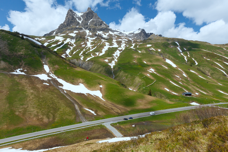


© Nikonmood


© Die Fotowerkstatt (Moritz Fasser)

© Nikonmood


© Nikonmood


© Jitka Šmelhausová

© Nikonmood

© Die Fotowerkstatt (Moritz Fasser)


