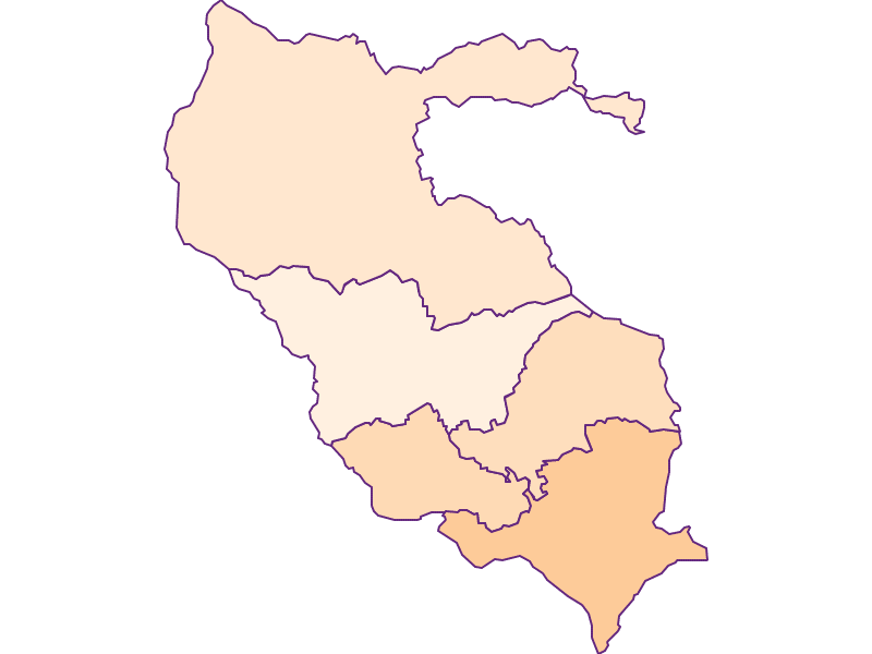
Lower Lavanttal and peripheral areas
Landscape

-
Population
43.217
-
Area
605,71 km²
-
Population Density
71,34 people/km²
-
(Austria)
105,17 people/km²
-
Topography
-
Federal State
-
Area proportion
25%
-
Pop. proportion
12%
-
Municipalities
5
-
Wood
53.47%
-
Alps
6.96%
-
Rocks
0.01%
-
Fields, pastures
30.23%
-
Permanent crops
0.13%
-
Viniculture
0.02
-
Gardens
2.21%
-
Rivers, brooks
0.56%
-
Lakes, ponds
0.13%
Lower Lavanttal and peripheral areas is an Austrian landscape, that is geographically part of the topography Carinthian Basin and politically part of the federal state Carinthia. Lower Lavanttal and peripheral areashas a surface of 605.71 km² and 43217 inhabitants.


© Tarik Saidi

© Angelika Komposch

© Angelika Komposch

© Angelika Komposch


-
Population Development in Lower Lavanttal and peripheral areas
-
Trade & motor vehicles in Lower Lavanttal and peripheral areas
-
Gastronomy & tourism in Lower Lavanttal and peripheral areas
-
Transportation companies in Lower Lavanttal and peripheral areas
-
Finance & real estate in Lower Lavanttal and peripheral areas
-
Health care & welfare in Lower Lavanttal and peripheral areas


