Northeastern plains and hills
Topography

-
Population
3.007.337
-
Area
10.196,44 km²
-
Population Density
294,93 people/km²
-
(Austria)
105,17 people/km²
-
Area proportion
12%
-
Pop. proportion
34%
-
Landscapes
16
-
Municipalities
363
-
Wood
20.44%
-
Alps
0.01%
-
Rocks
0.01%
-
Fields, pastures
55.90%
-
Permanent crops
0.28%
-
Gardens
4.02%
-
Rivers, brooks
1.14%
-
Lakes, ponds
1.75%
The north-eastern flat and hilly country is the easternmost topography of Austria and encompasses Vienna as a whole, making the north-eastern flat and hilly country the most populous topography in Austria, as well as parts of Lower Austria and Burgenland. The topography borders Slovakia in the northeast and Hungary in the southeast. In terms of landscape, it is characterised in particular by the Danube, the March and Lake Neusiedl.
- Wachau
- Western Wine Quarter
- Eastern Forest Quarter
- Herzogenburg, Tulln, Stockerau
- Hollabrunn- Mistelbach
- Laaer bay
- Eastern Wine Quarter
- Marchfeld
- Vienna Floor
- Baden- Gumpoldskirchen
- Stone field
- Wulka pools & peripheral areas
- Oberpullendorf basin
- Lake Neusiedl wine growing region
- Parndorf Plate
- Sea angle




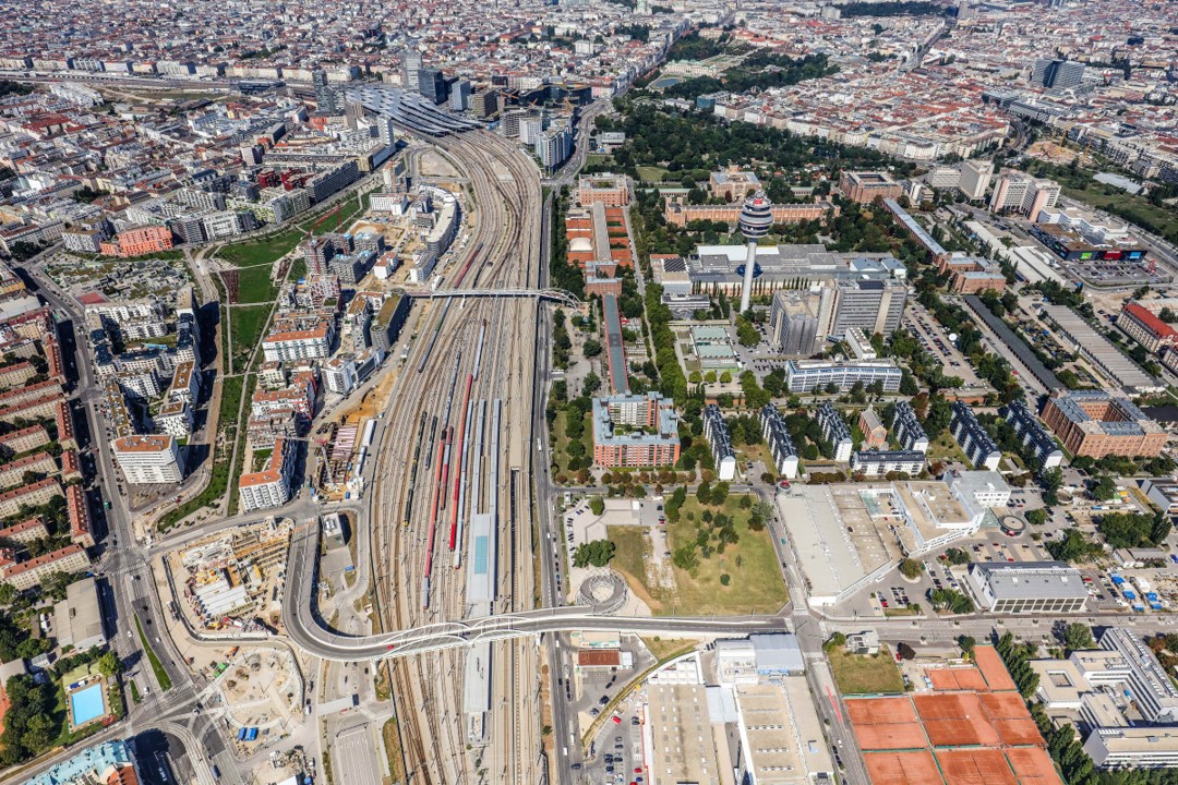
© Stadt Wien (Wien von oben)

© Stadt Wien (Wien von oben)
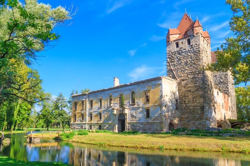
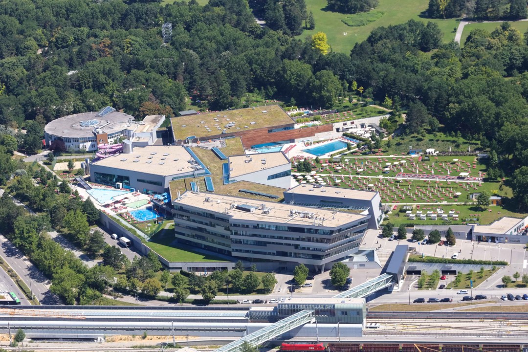
© Stadt Wien (Wien von oben)


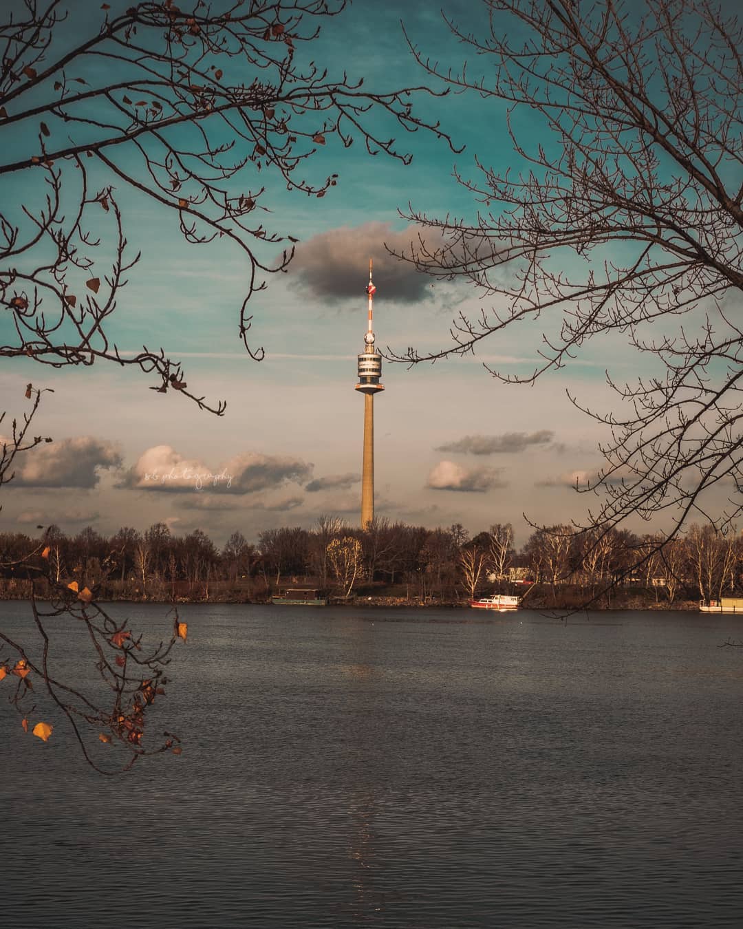
© Senad Bibik


© Stadt Wien (Wien von oben)


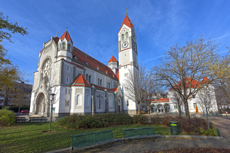


© Markus Fröschl
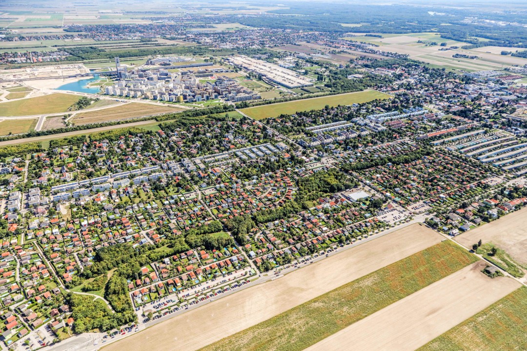
© Stadt Wien (Wien von oben)



© Stadt Wien (Wien von oben)


© Stadt Wien (Wien von oben)


