Hollabrunn- Mistelbach area
Landscape

-
Population
95.363
-
Area
1.238,77 km²
-
Population Density
76,98 people/km²
-
(Austria)
105,17 people/km²
-
Topography
-
Federal State
-
Area proportion
12%
-
Pop. proportion
3%
-
Municipalities
28
-
Wood
21.60%
-
Alps
0.00%
-
Rocks
0.00%
-
Fields, pastures
65.93%
-
Permanent crops
0.10%
-
Viniculture
0.87
-
Gardens
2.98%
-
Rivers, brooks
0.57%
-
Lakes, ponds
0.09%
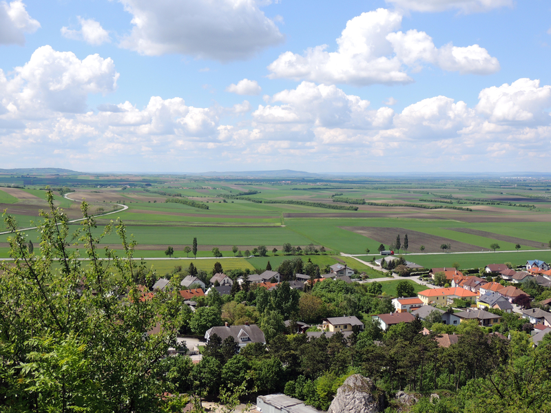
Hollabrunn- Mistelbach area is an Austrian landscape, that is geographically part of the topography Northeastern plains and hills and politically part of the federal state Lower Austria. Hollabrunn- Mistelbach areahas a surface of 1238.77 km² and 95363 inhabitants.
- Großmugl
- Langenzersdorf
- Leobendorf
- Sierndorf
- Bisamberg
- Ernstbrunn
- Großrußbach
- Harmannsdorf
- Korneuburg
- Leitzersdorf
- Stetten
- Niederhollabrunn
- Asparn
- Gnadendorf
- Kreuttal
- Mistelbach
- Niederleis
- Fallbach
- Hochleithen
- Kreuzstetten
- Ladendorf
- Staatz
- Göllersdorf
- Guntersdorf
- Hollabrunn
- Wullersdorf
- Grabern
- Nappersdorf Kammersdorf


© Markus Fröschl

© Angelika Komposch


