Eastern Wine Quarter
Landscape

-
Population
76.054
-
Area
1.149,70 km²
-
Population Density
66,15 people/km²
-
(Austria)
105,17 people/km²
-
Topography
-
Federal State
-
Area proportion
11%
-
Pop. proportion
2%
-
Municipalities
41
-
Wood
14.68%
-
Alps
0.00%
-
Rocks
0.00%
-
Fields, pastures
68.57%
-
Permanent crops
0.07%
-
Viniculture
4.84
-
Gardens
2.80%
-
Rivers, brooks
0.47%
-
Lakes, ponds
0.21%
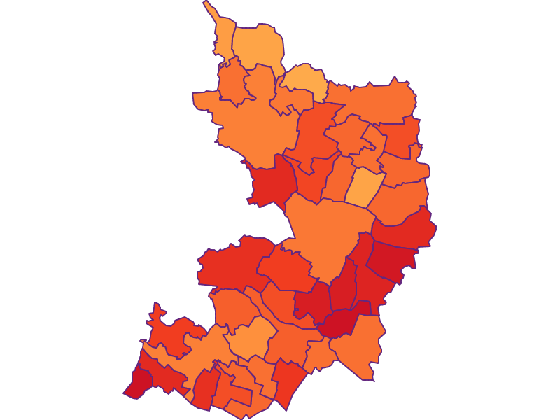
Eastern Wine Quarter is an Austrian landscape, that is geographically part of the topography Northeastern plains and hills and politically part of the federal state Lower Austria. Eastern Wine Quarterhas a surface of 1149.70 km² and 76054 inhabitants.
- Angern
- Bad Pirawarth
- Drösing
- Ebenthal
- Hohenau
- Jedenspeigen
- Matzen Raggendorf
- Palterndorf Dobermannsdorf
- Prottes
- Ringelsdorf Niederabsdorf
- Spannberg
- Sulz
- Velm Götzendorf
- Zistersdorf
- Auersthal
- Dürnkrut
- Groß Schweinbarth
- Hauskirchen
- Hohenruppersdorf
- Neusiedl
- Schönkirchen Reyersdorf
- Enzersfeld
- Bockfließ
- Falkenstein
- Großengersdorf
- Großkrut
- Herrnbaumgarten
- Poysdorf
- Schrattenberg
- Wilfersdorf
- Ottenthal
- Altlichtenwarth
- Bernhardsthal
- Drasenhofen
- Gaweinstal
- Großebersdorf
- Hausbrunn
- Pillichsdorf
- Rabensburg
- Ulrichskirchen Schleinbach
- Wolkersdorf


