Herzogsdorf
Marktgemeinde

-
Name
Herzogsdorf
-
Status
Marktgemeinde
-
Population
2.506
-
Territory
35,58 km²
-
Population Density
69,18 people/km²
-
Federal State
-
District
-
Car plate
UU
-
Topography
-
Landscape
-
Constituency
-
Wood
27.24%
-
Alps
0.00%
-
Rocks
0.00%
-
Fields, pastures
64.64%
-
Permanent crops
0.06%
-
Viniculture
0.00
-
Operational areas
1.21%
-
Leisure areas
0.15%
-
Gardens
2.19%
-
Rivers, brooks
0.24%
-
Lakes, ponds
0.07%
- The Marktgemeinde Herzogsdorf is located in the federal state Upper Austria
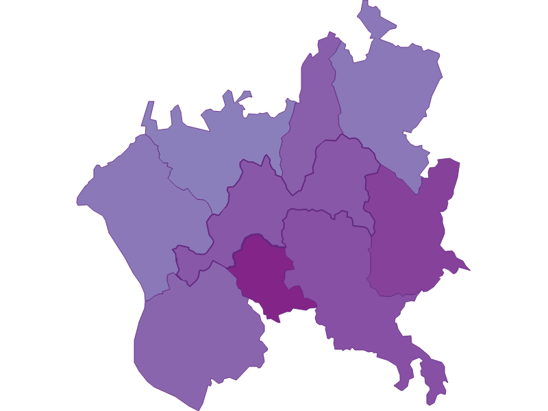
- The Marktgemeinde belongs to the Urfahr-Umgebung
- Herzogsdorf is geographically part of the landscape Mittellagen des Mühlviertels
- The main postal code of Herzogsdorf is 4175
- The Herzogsdorf has an area of 35.58 km²
- In Herzogsdorf live 2506 people
- Address : 4175 Herzogsdorf, Kirchenplatz 10
- Telephone : 07231/2255-0
- Website : herzogsdorf.ooe.gv.at
- Email : [email protected]
- Mayor : Mag. Alois Erlinger
Herzogsdorf: Main postcode (ZIP code): 4175
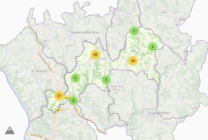
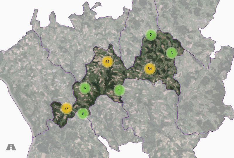
Towns & cadastral municipalities: Gerling, Neußerling, Felsleiten, Koth, Herzogsdorf, Stamering, Buchholz, Gaisberg, Eidendorf, Wigretsberg, Freilassing, Neudorf, Hilkering, Stötten, Mühlholz, Hofing.

- Urbanity : 5
- Prop. price : 43,60€
- Settlement : 1,28
- Household size : 2,79
- Sec. residences : 16%

- Density : 69,18 People/km²
- Since 1869 : +24,00%
- Since 1900 : +29,00%
- Since 2011 : +3,00%
- General elections

- Youth : 15,70%
- Seniors : 13,70%
- Sec. education : 68,30%
- Ter. education : 6,30%
- Foreigners : 1,30%

- Unemployment : 1,60%
- Activity rate : 82,90%
- Commuter : 76,40%
- Farmers(Federal) : 125,93%
- Farmers(Austria) : 183,18%


