East Styrian Highlands
Landscape

-
Population
81.678
-
Area
1.480,26 km²
-
Population Density
55,17 people/km²
-
(Austria)
105,17 people/km²
-
Topography
-
Federal State
-
Area proportion
13%
-
Pop. proportion
13%
-
Municipalities
36
-
Wood
56.22%
-
Alps
2.05%
-
Rocks
0.01%
-
Fields, pastures
33.34%
-
Permanent crops
0.62%
-
Viniculture
0.02
-
Gardens
1.71%
-
Rivers, brooks
0.41%
-
Lakes, ponds
0.07%
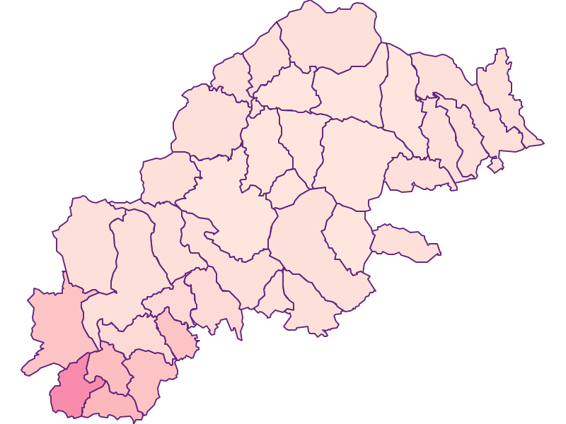
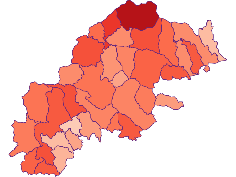
East Styrian Highlands is an Austrian landscape, that is geographically part of the topography Alpenostrand and politically part of the federal state Styria. East Styrian Highlandshas a surface of 1480.26 km² and 81678 inhabitants.
- Friedberg
- Pöllauberg
- Schäffern
- Stubenberg
- Vorau
- Greinbach
- Pinggau
- St.Jakob
- St.Lorenzen
- Wenigzell
- Dechantskirchen
- Pöllau
- Rohrbach
- Waldbach Mönichwald
- St.Kathrein
- Strallegg
- Anger
- Fladnitz
- Floing
- Naas
- Ratten
- St.Kathrein
- Thannhausen
- Birkfeld
- Gutenberg Stenzengreith
- Passail
- Fischbach
- Gasen
- Miesenbach
- Mortantsch
- Rettenegg
- Kumberg
- St.Radegund
- Stattegg
- Semriach
- Weinitzen


