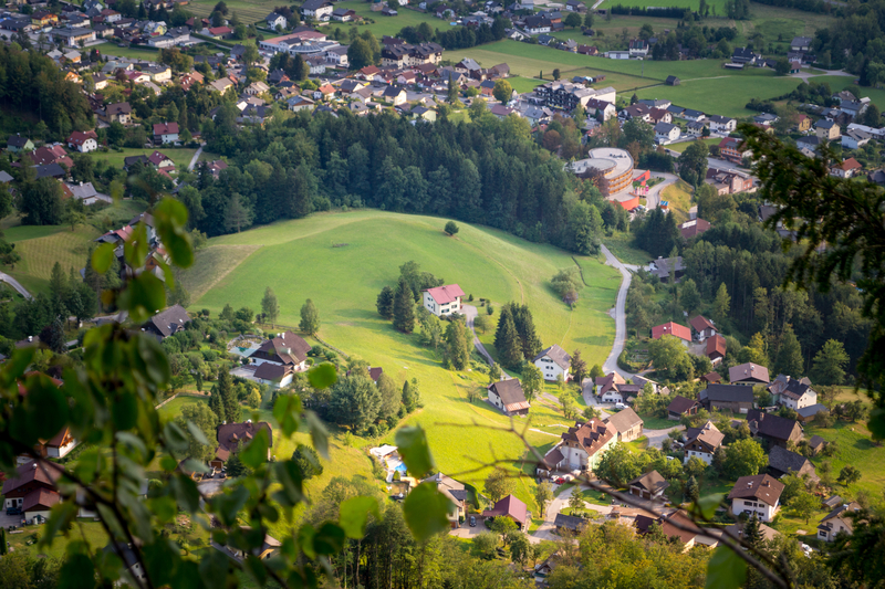
Inner Salzkammergut, Eisenwurzen
Landscape

-
Population
91.878
-
Area
2.780,98 km²
-
Population Density
33,03 people/km²
-
(Austria)
105,17 people/km²
-
Topography
-
Federal State
-
Area proportion
30%
-
Pop. proportion
17%
-
Municipalities
34
-
Wood
65.72%
-
Alps
1.27%
-
Rocks
5.19%
-
Fields, pastures
12.34%
-
Permanent crops
0.01%
-
Viniculture
0.00
-
Gardens
0.93%
-
Rivers, brooks
0.91%
-
Lakes, ponds
0.94%
Inner Salzkammergut, Eisenwurzen is an Austrian landscape, that is geographically part of the topography Pre-Alps and politically part of the federal state Upper Austria. Inner Salzkammergut, Eisenwurzenhas a surface of 2780.98 km² and 91878 inhabitants.
- Steinbach
- Laussa
- Maria Neustift
- Reichraming
- St.Ulrich
- Weyer
- Gaflenz
- Großraming
- Losenstein
- Ternberg
- Ebensee
- Gosau
- Obertraun
- Bad Goisern
- Grünau
- Hallstatt
- St.Wolfgang
- Bad Ischl
- Grünburg
- Klaus
- Micheldorf
- Rosenau
- St.Pankraz
- Spital
- Steinbach
- Edlbach
- Hinterstoder
- Kirchdorf
- Molln
- Oberschlierbach
- Roßleithen
- Steinbach
- Vorderstoder
- Windischgarsten


© Daniel Langer

© Bernd Föttinger


© Philipp Nöbauer

© Marco Gruber


© Bernd Föttinger

© Bernd Föttinger


© Daniel Langer

© Jitka Šmelhausová

© Bernd Föttinger

© Bernd Föttinger


© Angelika Komposch


© Bernd Föttinger

© Marco Gruber

© Marco Gruber

© Philipp Nöbauer

© Philipp Nöbauer


© Roman Huber

© Marco Gruber

© Christian Kremser

© Jitka Šmelhausová

© Marco Gruber


© Bernd Föttinger

© Philipp Nöbauer

© Philipp Nöbauer


© Jitka Šmelhausová


