Lower Austrian Limestone Alps
Landscape

-
Population
100.915
-
Area
3.275,93 km²
-
Population Density
30,80 people/km²
-
(Austria)
105,17 people/km²
-
Topography
-
Federal State
-
Area proportion
35%
-
Pop. proportion
18%
-
Municipalities
54
-
Wood
72.72%
-
Alps
1.17%
-
Rocks
0.72%
-
Fields, pastures
19.84%
-
Permanent crops
0.01%
-
Viniculture
0.00
-
Gardens
0.89%
-
Rivers, brooks
0.44%
-
Lakes, ponds
0.06%
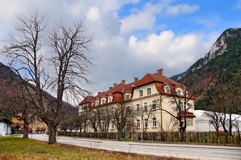
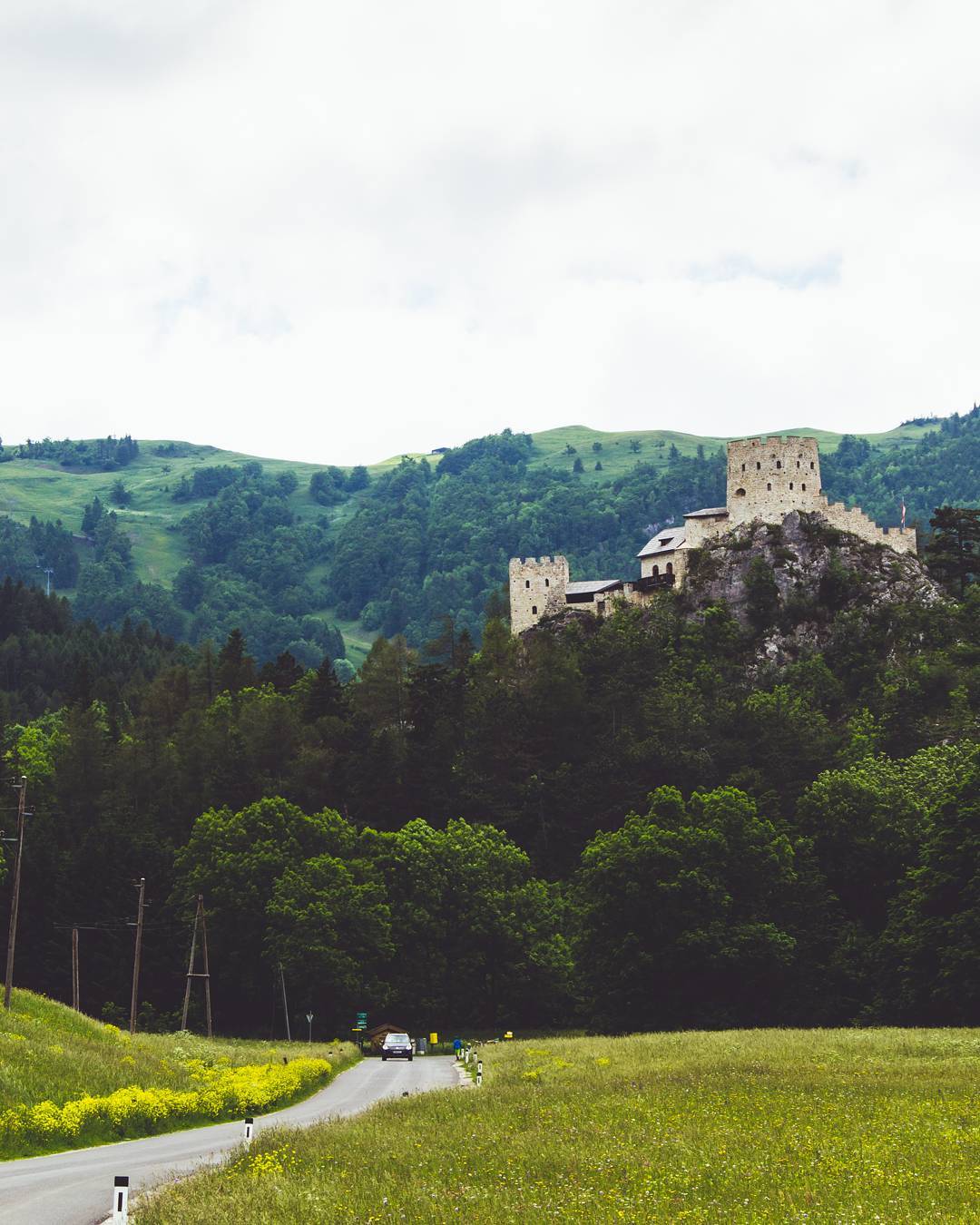
Lower Austrian Limestone Alps is an Austrian landscape, that is geographically part of the topography Pre-Alps and politically part of the federal state Lower Austria. Lower Austrian Limestone Alpshas a surface of 3275.93 km² and 100915 inhabitants.
- Furth
- Eschenau
- Hohenberg
- Kleinzell
- Mitterbach
- Türnitz
- Annaberg
- Lilienfeld
- Ramsau
- St.Aegyd
- Traisen
- Frankenfels
- Hofstetten Grünau
- Kirchberg
- Loich
- Rabenstein
- Schwarzenbach
- Wilhelmsburg
- Waidhofen
- Göstling
- Gresten Land
- Reinsberg
- St.Georgen
- Gaming
- Gresten
- Lunz
- Puchenstuben
- Randegg
- St.Anton
- Scheibbs
- Wang
- Hollenstein
- St.Georgen
- Sonntagberg
- Ertl
- Opponitz
- Ybbsitz
- Texingtal
- Puchberg
- Reichenau
- Breitenstein
- Grünbach
- Payerbach
- Prigglitz
- Schrattenbach
- Schwarzau
- Bürg Vöstenhof
- Miesenbach
- Pernitz
- Waidmannsfeld
- Gutenstein
- Muggendorf
- Rohr
- Waldegg


© Koki Liu

© Markus Fröschl

© Jitka Šmelhausová

© Jitka Šmelhausová

© Jitka Šmelhausová

© Jitka Šmelhausová


