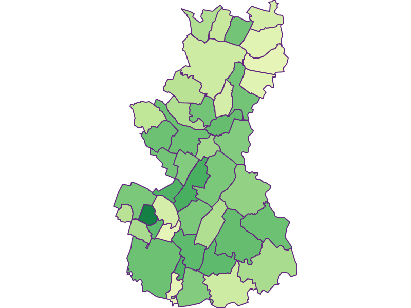
Bezirk
Gaenserndorf

-
Type
Bezirk
-
Population
102.512
-
Area
1.272,02 km²
-
Population Density
80,58 people/km²
-
(Austria)
105,17 people/km²
-
Federal State
-
Region
-
Area proportion
6%
-
Pop. proportion
6%
-
Number plate
GF
-
Municipalities
44
-
Wood
13.85%
-
Alps
0.00%
-
Rocks
0.00%
-
Fields, pastures
71.00%
-
Permanent crops
0.05%
-
Viniculture
1.55
-
Operational areas
0.86%
-
Leisure areas
0.37%
-
Gardens
3.17%
-
Rivers, brooks
1.07%
-
Lakes, ponds
0.35%
- The district Gaenserndorf is located in the federal state Niederösterreich
- The district belongs to the region Niederösterreich Ost
- Gaenserndorf has an area of 1272.02 km²
- Gaenserndorf has 102512 inhabitants
- Aderklaa
- Angern
- Bad Pirawarth
- Drösing
- Ebenthal
- Engelhartstetten
- Glinzendorf
- Großhofen
- Haringsee
- Hohenau
- Jedenspeigen
- Leopoldsdorf
- Marchegg
- Matzen Raggendorf
- Obersiebenbrunn
- Palterndorf Dobermannsdorf
- Prottes
- Ringelsdorf Niederabsdorf
- Spannberg
- Sulz
- Velm Götzendorf
- Zistersdorf
- Andlersdorf
- Auersthal
- Deutsch Wagram
- Dürnkrut
- Eckartsau
- Gänserndorf
- Groß Enzersdorf
- Groß Schweinbarth
- Hauskirchen
- Hohenruppersdorf
- Lassee
- Mannsdorf
- Markgrafneusiedl
- Neusiedl
- Orth
- Parbasdorf
- Raasdorf
- Schönkirchen Reyersdorf
- Strasshof
- Untersiebenbrunn
- Weikendorf
- Weiden


