Bezirk
Mistelbach

-
Type
Bezirk
-
Population
75.500
-
Area
1.292,53 km²
-
Population Density
58,41 people/km²
-
(Austria)
105,17 people/km²
-
Federal State
-
Region
-
Area proportion
6%
-
Pop. proportion
4%
-
Number plate
MI
-
Municipalities
36
-
Wood
16.06%
-
Alps
0.00%
-
Rocks
0.00%
-
Fields, pastures
70.11%
-
Permanent crops
0.07%
-
Viniculture
3.07
-
Operational areas
0.60%
-
Leisure areas
0.25%
-
Gardens
2.38%
-
Rivers, brooks
0.48%
-
Lakes, ponds
0.11%
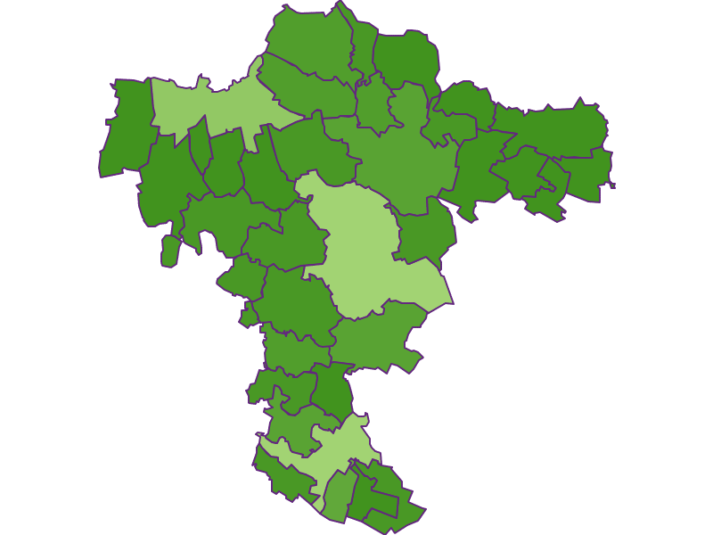
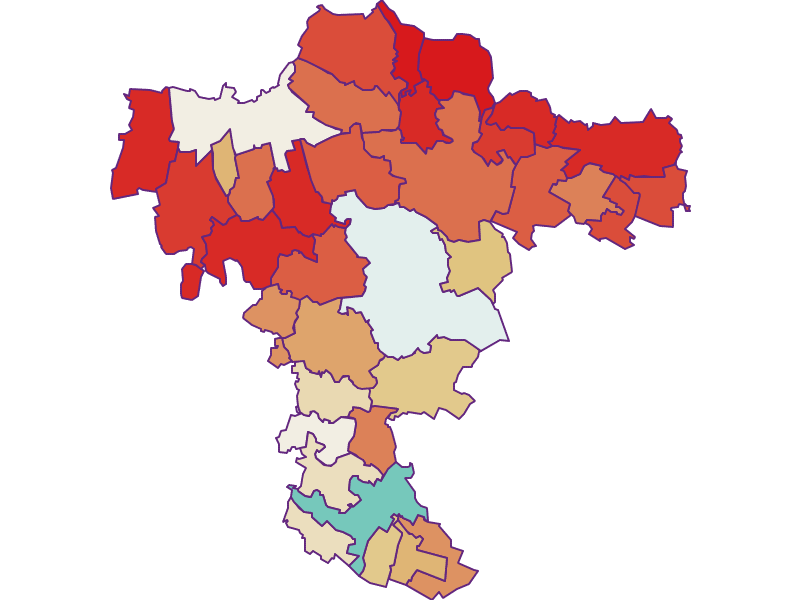
- The district Mistelbach is located in the federal state Niederösterreich
- The district belongs to the region Weinviertel
- Mistelbach has an area of 1292.53 km²
- Mistelbach has 75500 inhabitants
- Asparn
- Bockfließ
- Falkenstein
- Gaubitsch
- Gnadendorf
- Großengersdorf
- Großkrut
- Herrnbaumgarten
- Kreuttal
- Laa
- Mistelbach
- Niederleis
- Poysdorf
- Schrattenberg
- Stronsdorf
- Unterstinkenbrunn
- Wilfersdorf
- Ottenthal
- Altlichtenwarth
- Bernhardsthal
- Drasenhofen
- Fallbach
- Gaweinstal
- Großebersdorf
- Großharras
- Hausbrunn
- Hochleithen
- Kreuzstetten
- Ladendorf
- Neudorf
- Pillichsdorf
- Rabensburg
- Staatz
- Ulrichskirchen Schleinbach
- Wildendürnbach
- Wolkersdorf


