Bezirk
Gmuend

-
Type
Bezirk
-
Population
37.024
-
Area
786,70 km²
-
Population Density
47,06 people/km²
-
(Austria)
105,17 people/km²
-
Federal State
-
Region
-
Area proportion
4%
-
Pop. proportion
2%
-
Number plate
GD
-
Municipalities
21
-
Wood
51.67%
-
Alps
0.01%
-
Rocks
0.00%
-
Fields, pastures
39.53%
-
Permanent crops
0.08%
-
Viniculture
0.00
-
Operational areas
0.37%
-
Leisure areas
0.13%
-
Gardens
1.65%
-
Rivers, brooks
0.32%
-
Lakes, ponds
1.26%
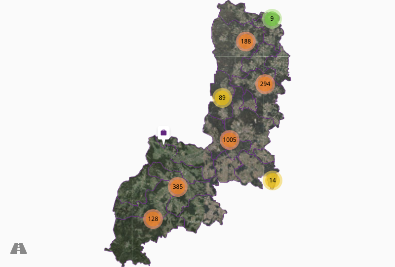
- The district Gmuend is located in the federal state Niederösterreich
- The district belongs to the region Waldviertel
- Gmuend has an area of 786.70 km²
- Gmuend has 37024 inhabitants


