Bezirk
Krems (Land)

-
Type
Bezirk
-
Population
56.738
-
Area
922,92 km²
-
Population Density
61,47 people/km²
-
(Austria)
105,17 people/km²
-
Federal State
-
Region
-
Area proportion
4%
-
Pop. proportion
3%
-
Number plate
KR
-
Municipalities
30
-
Wood
47.50%
-
Alps
0.00%
-
Rocks
0.00%
-
Fields, pastures
34.89%
-
Permanent crops
0.51%
-
Viniculture
7.46
-
Operational areas
0.49%
-
Leisure areas
0.37%
-
Gardens
1.58%
-
Rivers, brooks
1.47%
-
Lakes, ponds
0.26%
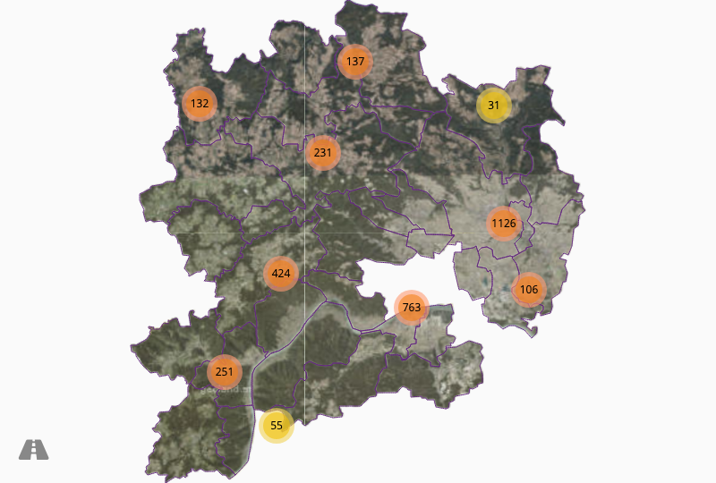
- The district Krems (Land) is located in the federal state Niederösterreich
- The district belongs to the region Waldviertel
- Krems (Land) has an area of 922.92 km²
- Krems (Land) has 56738 inhabitants
- Aggsbach
- Bergern
- Grafenegg
- Gedersdorf
- Hadersdorf Kammern
- Krumau
- Lengenfeld
- Maria Laach
- Mühldorf
- Rastenfeld
- Rossatz Arnsdorf
- Senftenberg
- Straß
- Weinzierl
- Schönberg
- Albrechtsberg
- Dürnstein
- Furth
- Gföhl
- Jaidhof
- Langenlois
- Lichtenau
- Mautern
- Paudorf
- Rohrendorf
- St.Leonhard
- Spitz
- Stratzing
- Weißenkirchen
- Droß


© Angelika Komposch

© Angelika Komposch

© Angelika Komposch

© Angelika Komposch

© Angelika Komposch


