Lower Austria
Federal State

 Geographical
-
Population
1.670.668
-
Area
19.186,26 km²
-
Population Density
87,07 people/km²
-
(Austria)
105,17 people/km²
-
Area proportion
22%
-
Pop. proportion
18%
-
Regions
7
-
Districts
24
-
Municipalities
573
-
Wood
39.44%
-
Alps
0.22%
-
Rocks
0.12%
-
Fields, pastures
47.13%
-
Permanent crops
0.11%
-
Viniculture
1.52
-
Operational areas
0.89%
-
Leisure areas
0.32%
-
Gardens
2.54%
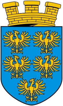
Lower Austria is the largest province of the Republic of Austria in terms of area. Lower Austria borders Upper Austria in the west, Styria in the south and Burgenland in the southeast. The province of Vienna is also surrounded by Lower Austria. The neighbouring countries are the Czech Republic in the north and Slovakia in the east. The provincial capital of Lower Austria has been St. Pölten since 1986. The federal state is divided regionally into the Weinviertel in the northwest, the Waldviertel in the northeast, the Industrieviertel in the southeast and the Mostviertel in the southwest. In the field of spatial planning, which divides Lower Austria into five main regions, there is also Lower Austria-Mitte. The province consists of 573 municipalities and is rich in cultural centres such as the Melk Abbey.
- Lower Austrian Limestone Alps
- Western Viennese Woods
- Eastern Viennese Woods
- Thermenrand
- Hunchbacked World
- High altitudes of the forest quarter
- Northwestern forest quarter
- Central locations of the forest quarter
- Southern Wood Quarter
- Hague-Amstetten area
- Wieselburg- St. Poelten area
- Wachau
- Western Wine Quarter
- Eastern Forest Quarter
- Herzogenburg, Tulln, Stockerau area
- Hollabrunn- Mistelbach area
- Laaer bay
- Eastern Wine Quarter
- Marchfeld
- Vienna Floor
- Baden- Gumpoldskirchen area
- Stone field


© Markus Fröschl


© Markus Fröschl


© Markus Fröschl


© Markus Fröschl

© Markus Fröschl


© Tarik Saidi


