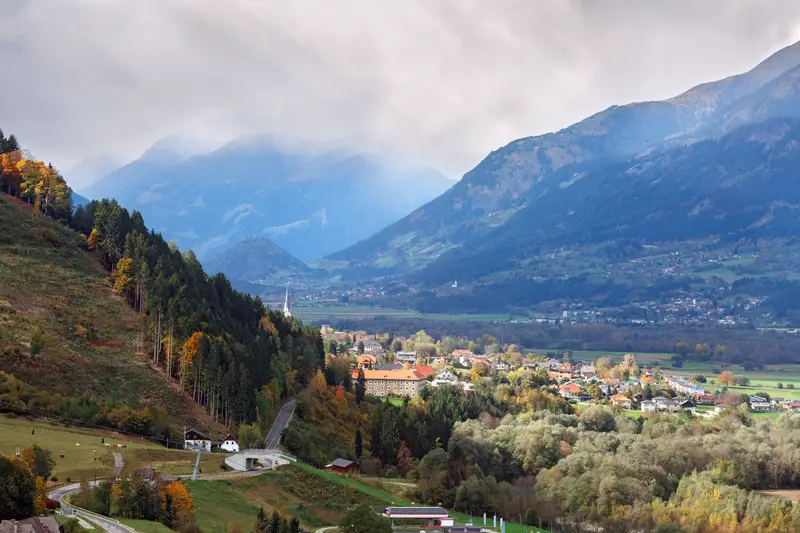
Alpenostrand
The Alpenostrand lies southeast of the High Alps and extends over parts of Carinthia, Styria and Burgenland. The topography forms the transition to the Pannonian Plain and is, according to its name, the eastern edge of the Alps.
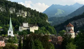
Alpine foreland
Like the foothills of the Alps, the foothills of the Alps are separated by the high Alps and are divided into the west and north of Vorarlberg and parts of Salzburg, Upper and Lower Austria. The Rhine, Lake Constance and the Salzach are of major importance from a topographical point of view.

High Alps
The High Alps are the largest topography
in Austria in terms of area and extend
from Vorarlberg to Styria. The
characteristic feature of the topography is
the name of the Alps, which are the
highest mountains in Europe. The High
Alps are the northern centre of the
mountains with peaks of more than 1500
metres, which are considered to be the
Eastern Alps.

Carinthian Basin
The Carinthian Basin is the smallest topography in Austria and is located in Carinthia. The topography is divided into the landscapes of the Western and Eastern Carinthian Basin and the Lower Lavant Valley with peripheral locations. Besides the agglomerations around Klagenfurt and Villach, the Carinthian lakes such as Lake Wörthersee are an essential feature of the Carinthian Basin.
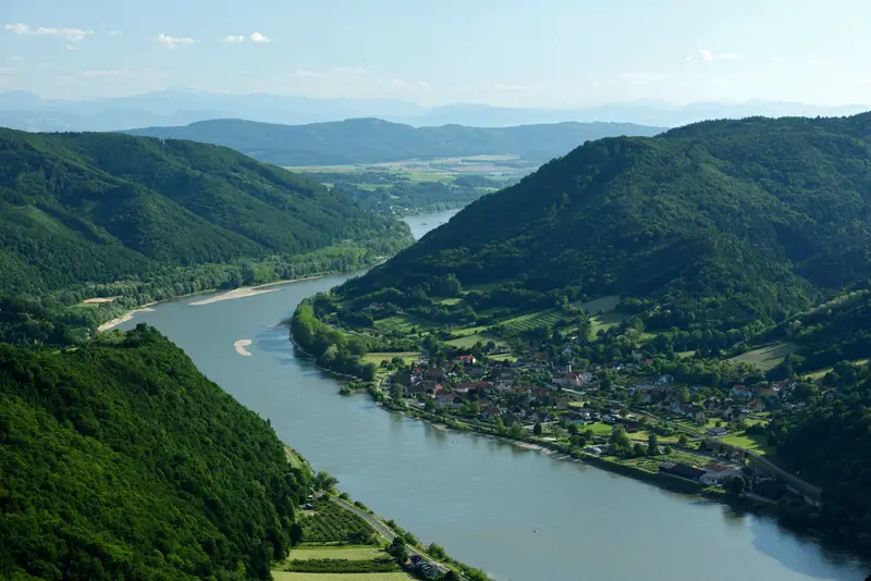
N-E plains and hills
The north-eastern flat and hilly country is the easternmost topography of Austria and encompasses Vienna as a whole, making the north-eastern flat and hilly country the most populous topography in Austria, as well as parts of Lower Austria and Burgenland. The topography borders Slovakia in the northeast and Hungary in the southeast. In terms of landscape, it is characterised in particular by the Danube, the March and Lake Neusiedl.
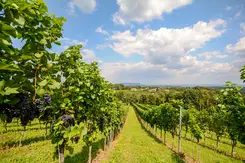
S-E plains and hills
The southeastern flat and hilly country is the second smallest topography in Austria after the Carinthian Basin and lies in the southeast of Austria. The topography extends over the south of Styria and Burgenland. Due to the climatic conditions, the southeastern flat and hilly country is particularly characterised by viticulture and borders Slovenia to the south and Hungary to the east.

Pre-Alps
The foothills of the Alps are a topography of Austria, separated by the High Alps and bordering them in the west and east. The topography is, according to its name, an area in front of the High Alps. It is characterised by a lower peak height and comprises the north of Vorarlberg as well as areas in Salzburg, Upper and Lower Austria. The easternmost landscape of this topography is the eastern Vienna Woods, whereby the topography extends to the borders of Vienna.
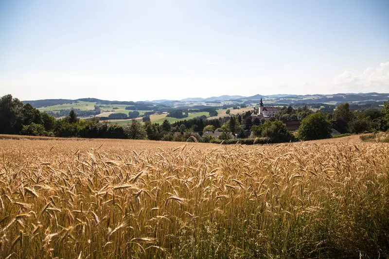
Forest and mill quarter
The Wald- und Mühlviertel lies in the north of Austria and extends over parts of Upper and Lower Austria. The topography essentially comprises different locations of the Upper Austrian Mühlviertel and the Lower Austrian Waldviertel.

Population


