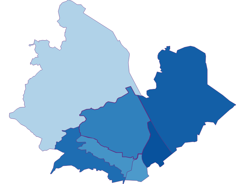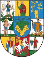
Wien 19.,Döbling
Bezirk

-
Name
Wien 19.,Döbling
-
Status
Bezirk
-
Population
72.650
-
Territory
24,94 km²
-
Population Density
2.854,00 people/km²
-
Federal State
-
District
-
Car plate
W
-
Topography
-
Landscape
-
Constituency
-
Wood
26.20%
-
Alps
0.00%
-
Rocks
0.00%
-
Fields, pastures
2.67%
-
Permanent crops
0.03%
-
Viniculture
14.47
-
Operational areas
1.93%
-
Leisure areas
2.84%
-
Gardens
26.41%
-
Rivers, brooks
0.50%
-
Lakes, ponds
0.01%
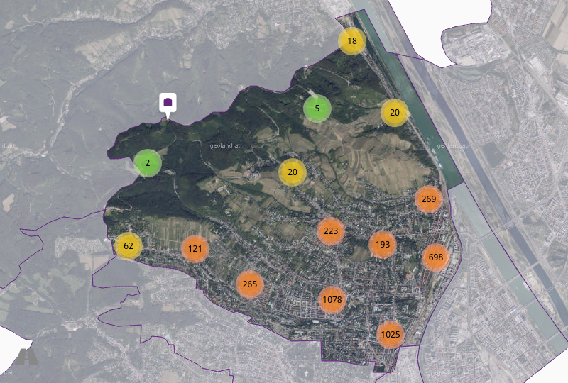
The Neunzehnte Wiener Gemeindebezirk (Nineteenth District of Vienna) is a Viennese outskirts and district, which is located in the north of the city and includes districts such as Grinzing, Heiligenstadt, Nussdorf and Sievering. From an economic point of view, wine-growing is a special feature of the district. Among the sights are the Karl-Marx-Hof, the Kahlenberg and the Heiligenstädter Park. The district is considered a noble district.
- Address : 1190 Wien, Pfarrwiesengasse 23C
- Telephone : +43 1 4000-18000
- Website : wien.gv.at
- Email : [email protected]
- Mayor : Dr. Michael Ludwig
Wien 19.,Döbling: Main postcode (ZIP code): 1190
Towns & cadastral municipalities: Wien, Döbling.

- Urbanity : 10
- Prop. price : 1.506,90€
- Settlement : 5,42
- Household size : 2,02
- Sec. residences : 18%

- Density : 2.854,00 People/km²
- Since 1869 : +305,00%
- Since 1900 : +89,00%
- Since 2011 : +6,00%
- General elections

- Youth : 13,70%
- Seniors : 23,00%
- Sec. education : 50,70%
- Ter. education : 30,00%
- Foreigners : 21,90%

- Unemployment : 10,60%
- Activity rate : 62,50%
- Commuter : 10,10%
- Farmers(Federal) : 45,24%
- Farmers(Austria) : -91,06%


© Markus Fröschl

© Christian Kremser

© Jitka Šmelhausová

© Jitka Šmelhausová

© Stadt Wien (Wien von oben)

© Stadt Wien (Wien von oben)

